Satellite Services
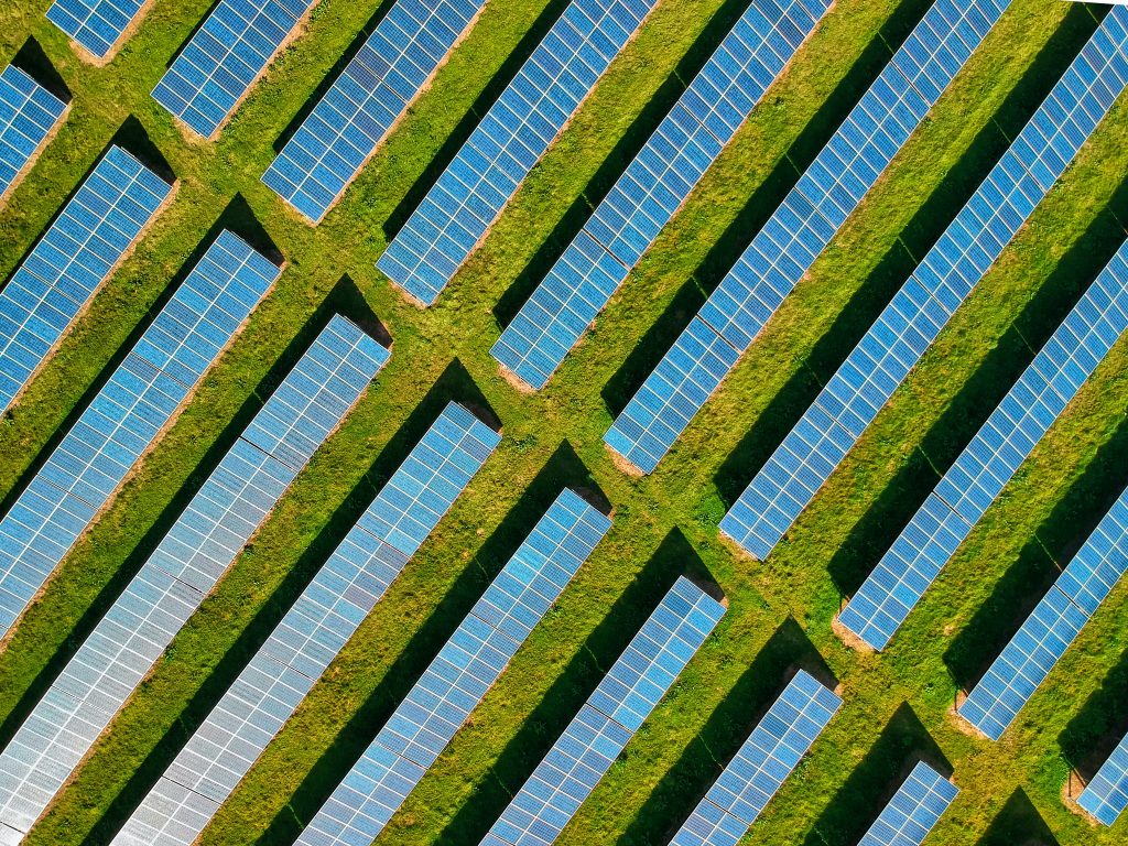
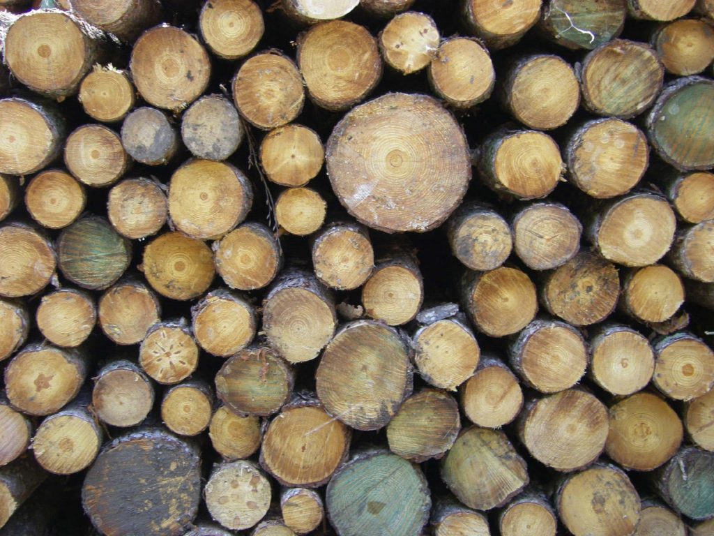
With an ever growing need to effectively monitor over large area of land, Earth-sensing satellites and their products are in increasing demand. Riverstone Environmental offer satellite-based solutions and analytics across various sectors such as forestry, agriculture, energy, oil & gas, and defense & intelligence. Companies can use these satellites for efficient and reliable decision-making for their business applications.
Eartheye Sat-Tasking Platform
Your one-stop platform to order and task satellite services and data from multiple satellite providers. Through a cloud-hosted and intuitive and user-centric workflow, you can now collect data whenever, wherever, and with whichever sensor types you want.
High Quality
Secure
Cloud-hosted
Intuitive & Convenient
Affordable
With an ever growing need to effectively monitor over large area of land, Earth-sensing satellites and their products are in increasing demand. Riverstone Environmental offer satellite-based solutions and analytics across various sectors such as forestry, agriculture, energy, oil & gas, and defense & intelligence. Companies can use these satellites for efficient and reliable decision-making for their business applications.
Eartheye Sat-Tasking Platform
Eartheye Sat-Tasking Platform is a subscription-based cloud-hosted platform to provide you access to collect data from different satellites and constellations via a single platform. Through an intuitive and user-centric workflow, you can now collect data whenever, wherever, and with whichever sensor types you want.
Eartheye Sat-Tasking Platform
Your one-stop platform to order and task satellite services and data from multiple satellite providers. Through a cloud-hosted and intuitive and user-centric workflow, you can now collect data whenever, wherever, and with whichever sensor types you want.
High Quality
Secure
Cloud-hosted
Intuitive & Convenient
Affordable

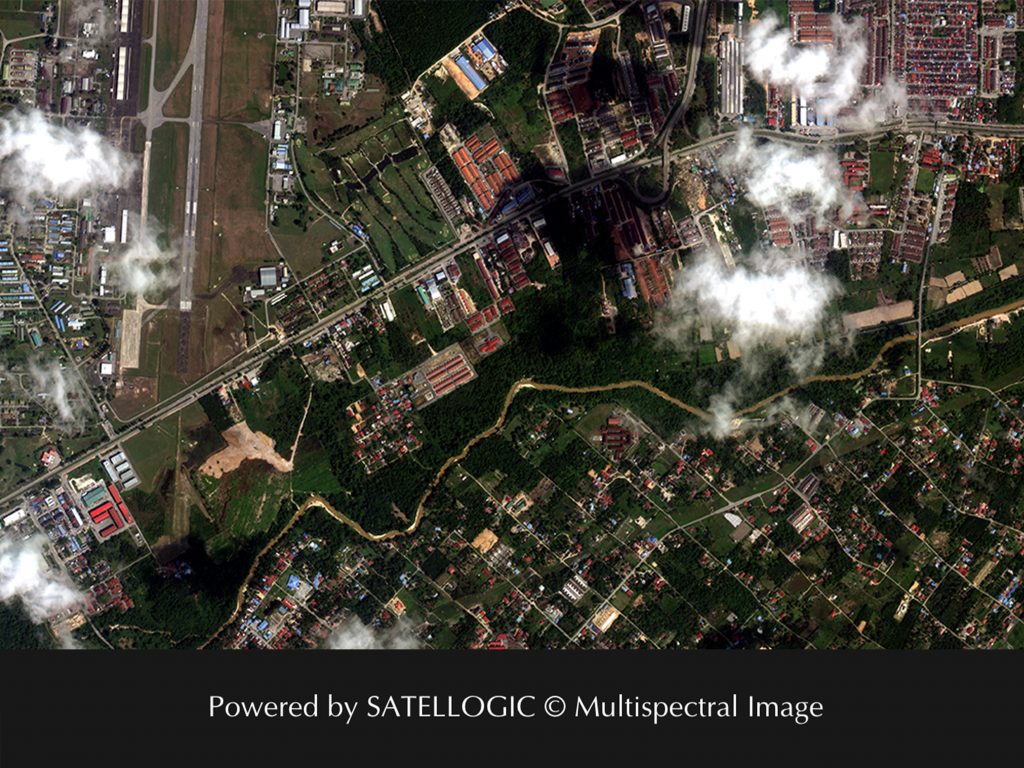
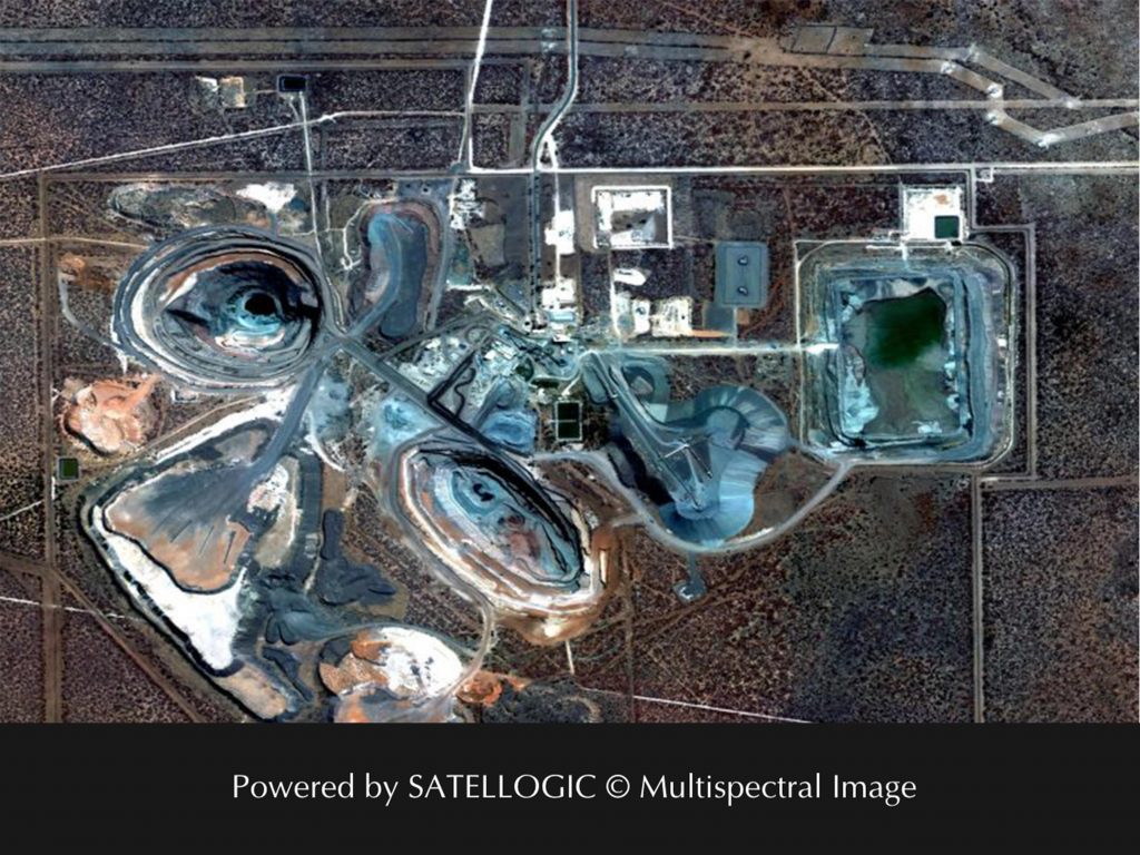
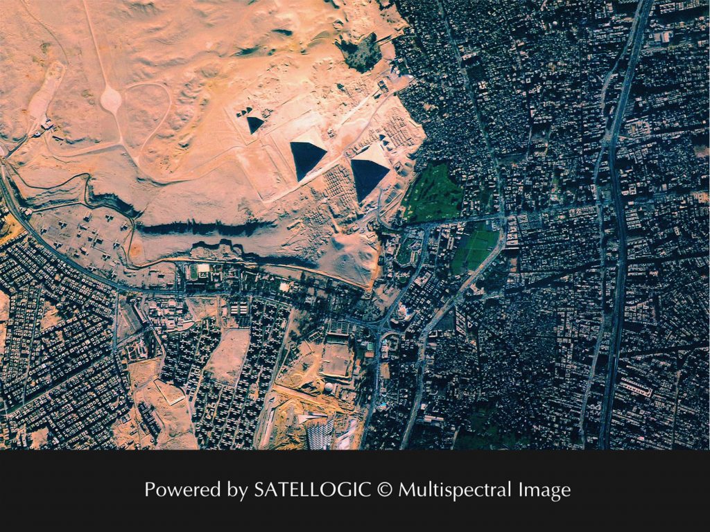
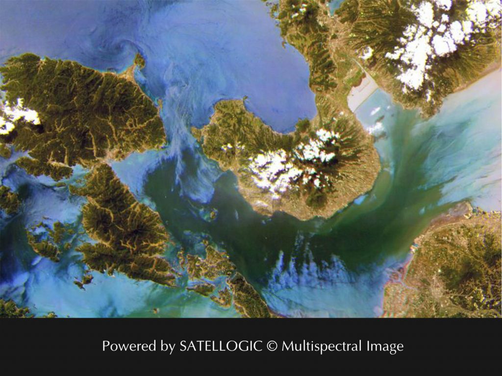
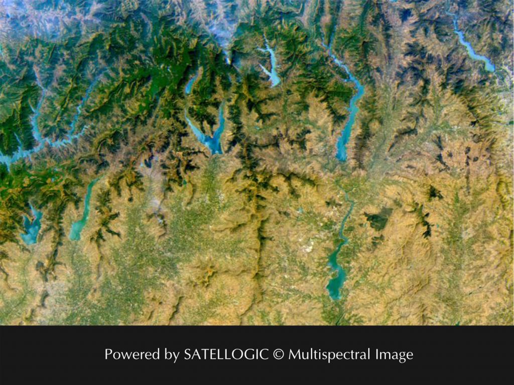
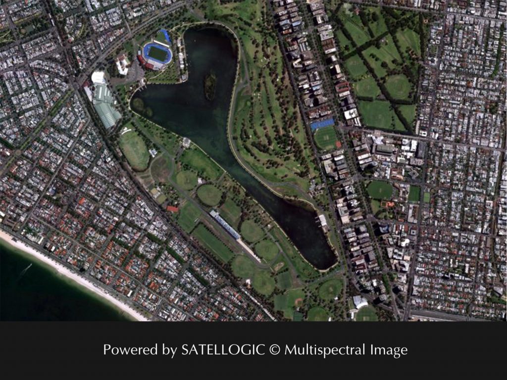
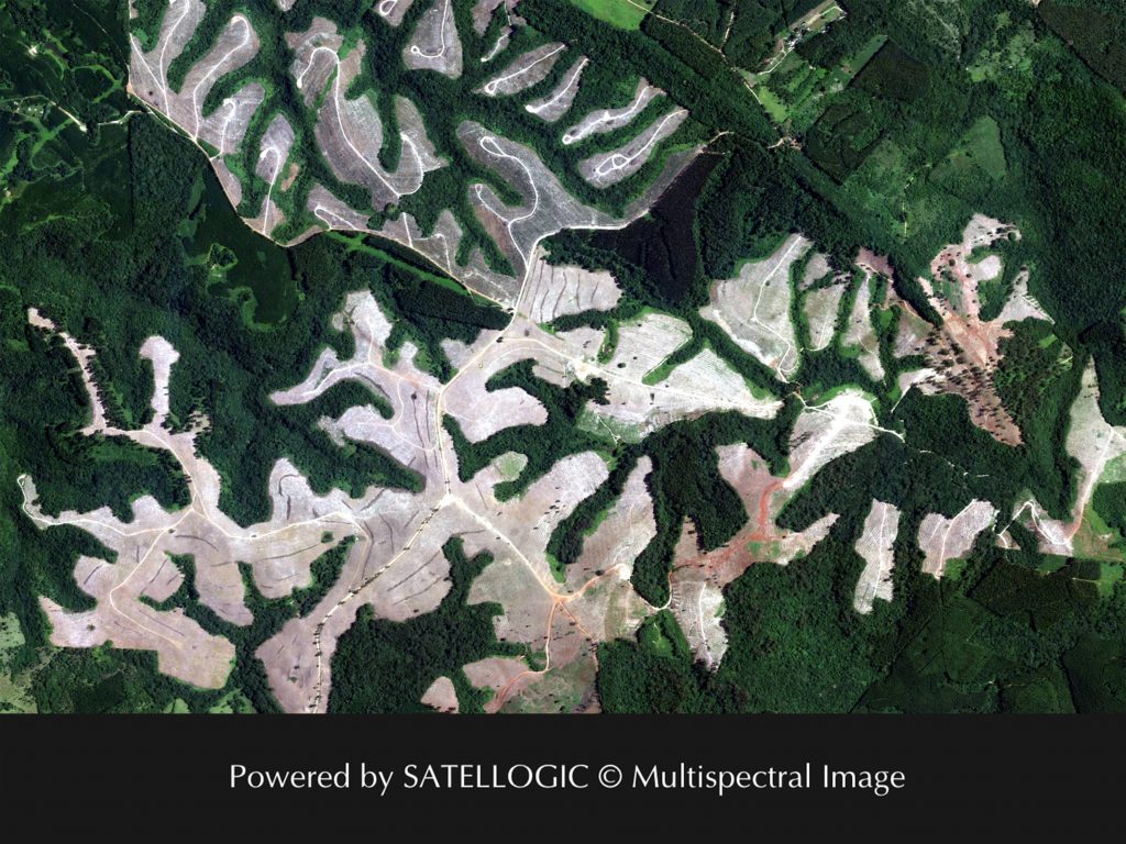
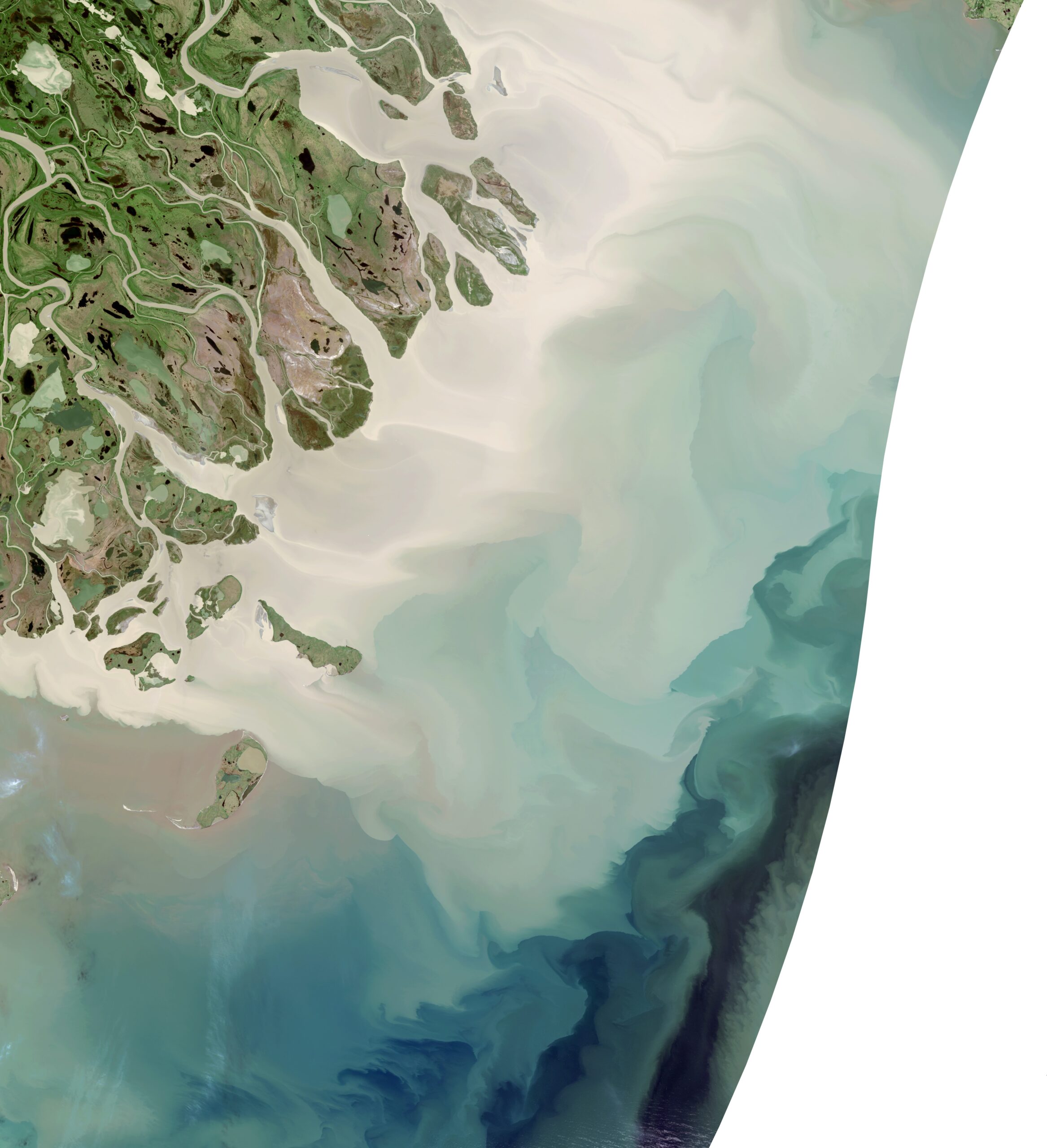
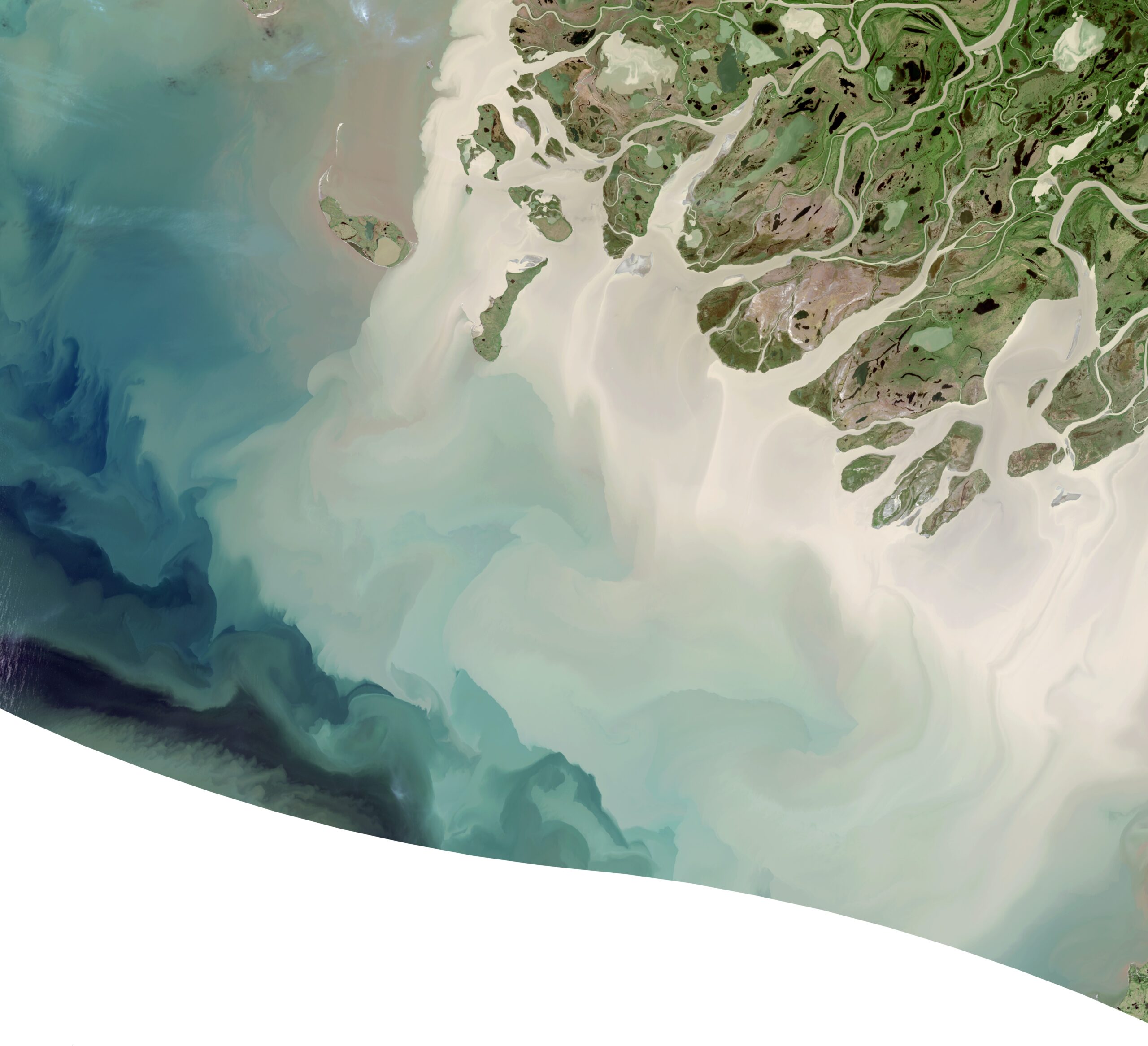
Multispectral Imagery
Multispectral imagery allows you to monitor economic activity and high-frequency changes to infrastructure and natural environment with sub-meter resolutions.

Hyperspectral Imagery
Hyperspectral imagery enables unprecedented precision in the classification of land and water, offering an added dimension to geospatial data beyond the visible spectrum.
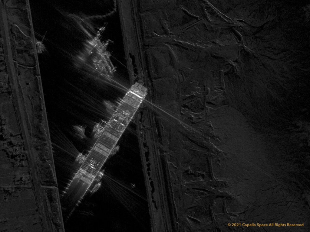
Synthetic Aperture Radar
SAR imagery allows you to look at surface roughness and topography and can sense objects below clouds and even during the night.
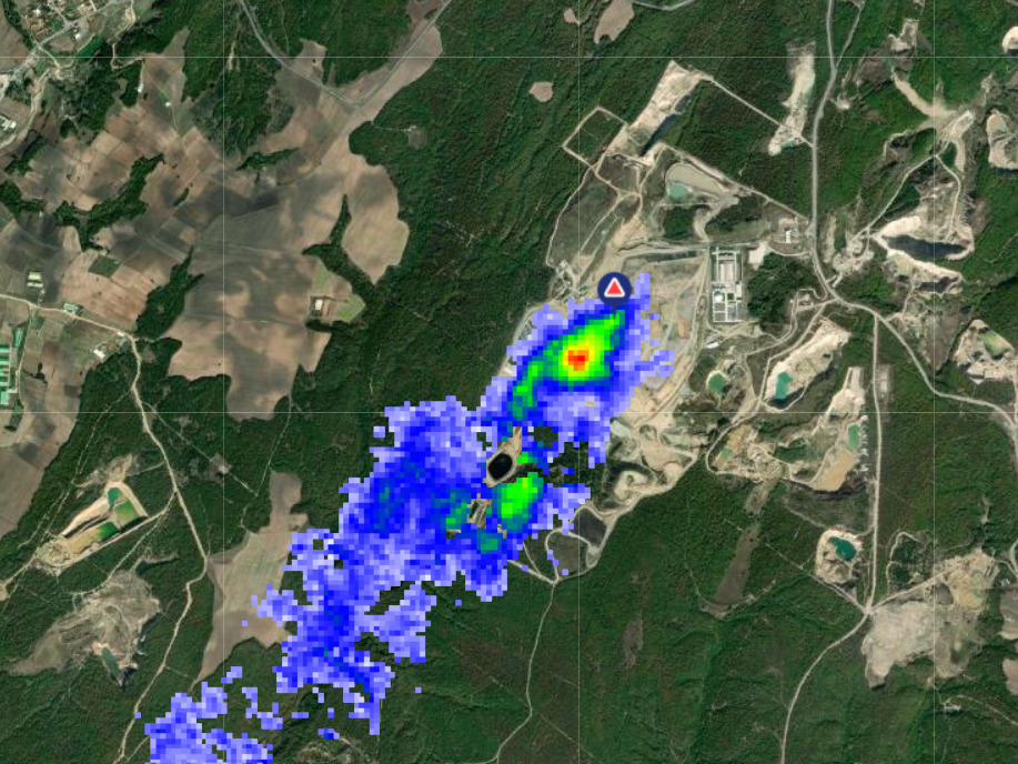
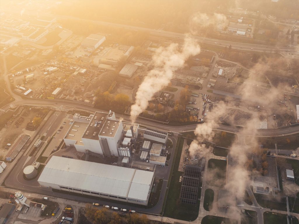
Greenhouse Gas
Through patented imaging interferometer and capturing the unique wavelength signatures of CH4 and CO2, GHGSat can identify point and areal sources of greenhouse gases (GHG) and provide emission rates and concentration maps.